INSIGHT
How Much Does a Drone Roof Inspection Cost?
Drone roof inspection cost is lower than most property owners expect, and the accuracy of what a drone captures beats a traditional ladder-and-clipboard assessment in almost every way. Here is a clear breakdown of what to expect before you book.
What Factors Affect Drone Roof Inspection Cost?
Pricing is driven primarily by the size and type of the structure. A standard residential roof costs less to inspect than a large commercial building or multi-unit complex. The scope of deliverables matters too: a basic visual report with photographs differs from a comprehensive package that includes annotated findings, a written summary, and aerial video footage.
Other factors that affect what you'll pay:
Roof size and complexity: steeper or more complex rooflines take more time to cover thoroughly
Structure type: residential, commercial, and industrial properties carry different inspection scopes
Deliverables included: the number of high-resolution images, whether video is part of the package, and the depth of reporting
Whether a written condition summary or formal inspection report is part of the package
Travel distance if the property is outside the standard service area
How Much Does a Drone Roof Inspection Cost?
Drone roof inspection price depends on a number of factors, and no two properties are identical. The size and type of the structure play the biggest role: a residential property is scoped differently from a large commercial building or multi-unit complex. The deliverables included matter too, since a basic visual report with imagery is priced differently from a comprehensive package with annotated findings, a written summary, and aerial video.
Measured against a traditional inspection that may require scaffolding, ladder access, and significantly more time on-site, the cost comparison makes the choice straightforward. You get more thorough coverage at a comparable or lower price point.
"Drone-based inspections reduce assessment time by up to 85% compared to traditional methods, while capturing significantly more data per square foot."
What a Good Inspection Package Delivers
The value isn't just the images. It's the completeness. A drone covers the entire roof surface systematically, including areas that are genuinely difficult to reach manually: valleys, ridge lines, flashings, vents, and drainage points. The result is a full visual record rather than notes taken from the sections that were easy to walk.
A solid drone roof inspection package typically includes:
High-resolution aerial photos covering the full roof surface
Close-up imagery of flagged problem areas
An annotated report or written summary documenting findings
Timestamped media usable for insurance claims, due diligence, or warranty documentation
Aerial video footage if included in the selected package
For real estate transactions specifically, that documentation removes uncertainty early and reduces one of the most common buyer negotiation points before it even gets raised.
When Does a Drone Roof Inspection Make Sense?
Almost always, if the alternative is sending someone up a ladder.
Drone roof inspections are especially useful in these situations:
Before or after a real estate transaction where roof condition affects buyer confidence
Following a significant weather event when you need to document damage for insurance purposes
As part of a routine maintenance schedule for commercial property owners
When preparing evidence for an insurance claim that requires documented aerial proof
For real estate agents, adding an aerial roof inspection to a listing package answers buyer concerns before they become negotiation points. A seller who can present a recent inspection report signals transparency and tends to attract more qualified, serious offers.
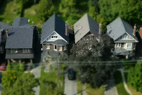
Drone Roof Inspections in London, Ontario
Forest City Aerial provides drone roof inspections across London, Ontario and the surrounding area, including St. Thomas, Strathroy, Woodstock, and Dorchester. Packages are priced straightforwardly, and media is delivered quickly so you're not waiting days for results when timing matters.
If you have a property that needs an aerial assessment, reach out with the details and we'll take care of the rest.


