Use both. They answer different questions and they make each other stronger. Traditional real estate photography sells what the home is like inside. Drone photography sells what the property is like: lot size, setting, and everything a buyer cannot judge from the street. Ground-level photos get a listing looked at. Aerial is usually what makes it stand out.
What Is the Difference Between Drone and Traditional Real Estate Photography?
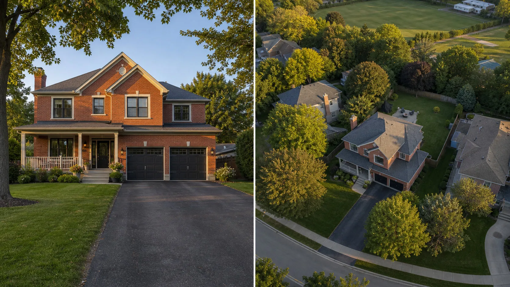
Camera position, and what that position can prove. Ground-level photography documents the building. Drone photography documents the property the building sits on.
Traditional real estate photography is shot at eye level with a wide architectural lens, usually from the driveway, the yard, and inside each room. It is the format buyers have been trained on for twenty years, and it is very good at one thing: showing how a home feels to stand in. Layout, light, finishes, and flow all come through.
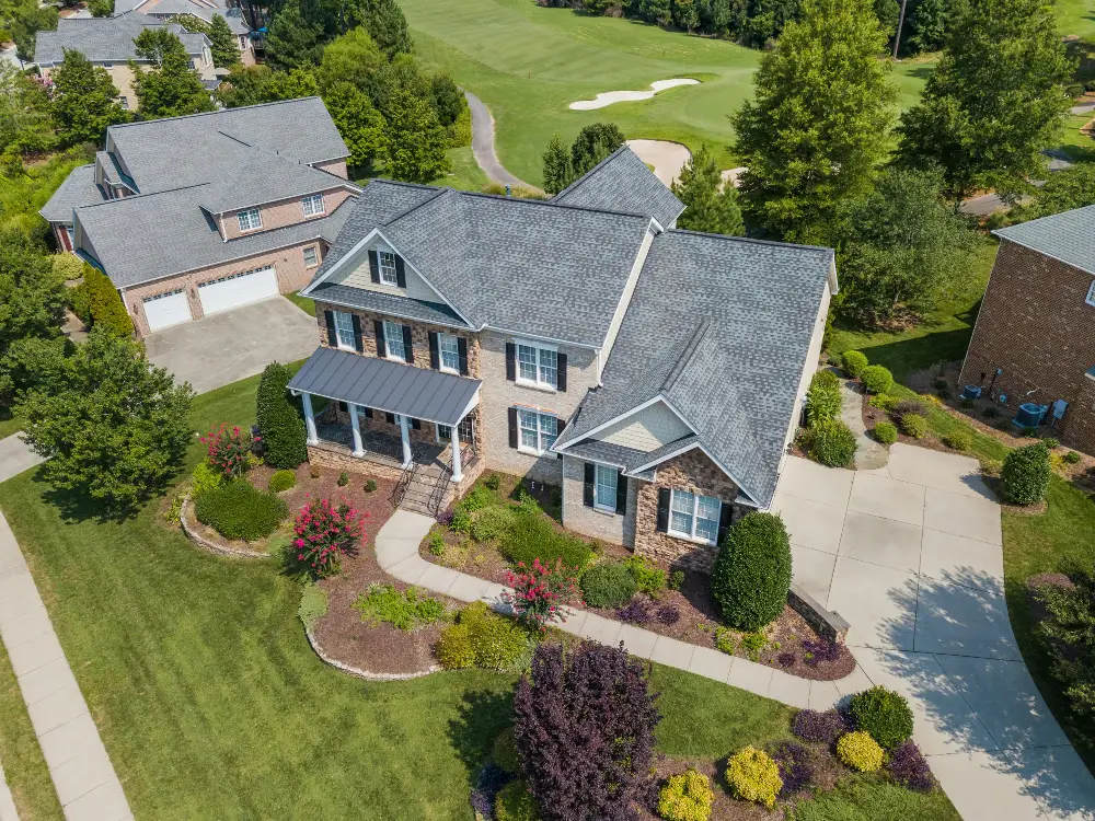
Drone photography is shot from above the rooftop, either straight down or at an oblique angle, and it settles every question about the land in a single frame: how big the lot actually is, where the boundaries fall, what sits behind the fence, and how the property relates to the street, the water, or the green space nearby. Those are the questions that decide whether a buyer books the showing, and they are the ones a listing gallery most often leaves unanswered.
The two are not competing formats. They are answering different halves of the same decision, which is why they work better together than either does alone.
| What the buyer is judging | Traditional photography | Drone photography |
|---|---|---|
| Room layout, finishes, and light | Yes. This is what it exists to do | No |
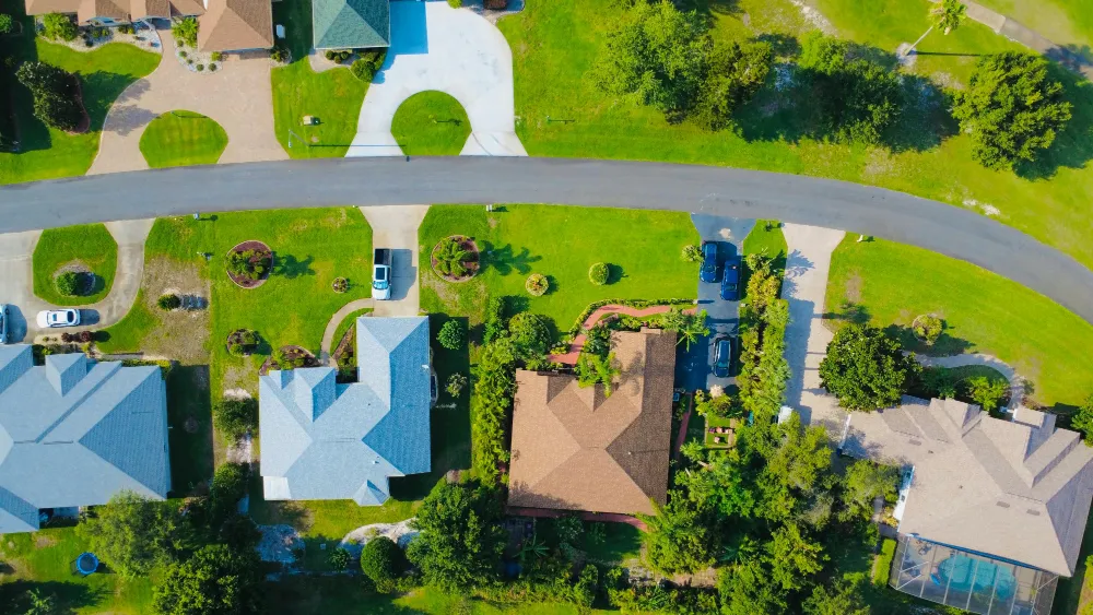
| Lot size and the shape of the land | Partly, and only from one side | Yes, in a single frame |
| What backs onto the property | No | Yes |
| Distance to water, parks, and green space | No | Yes |
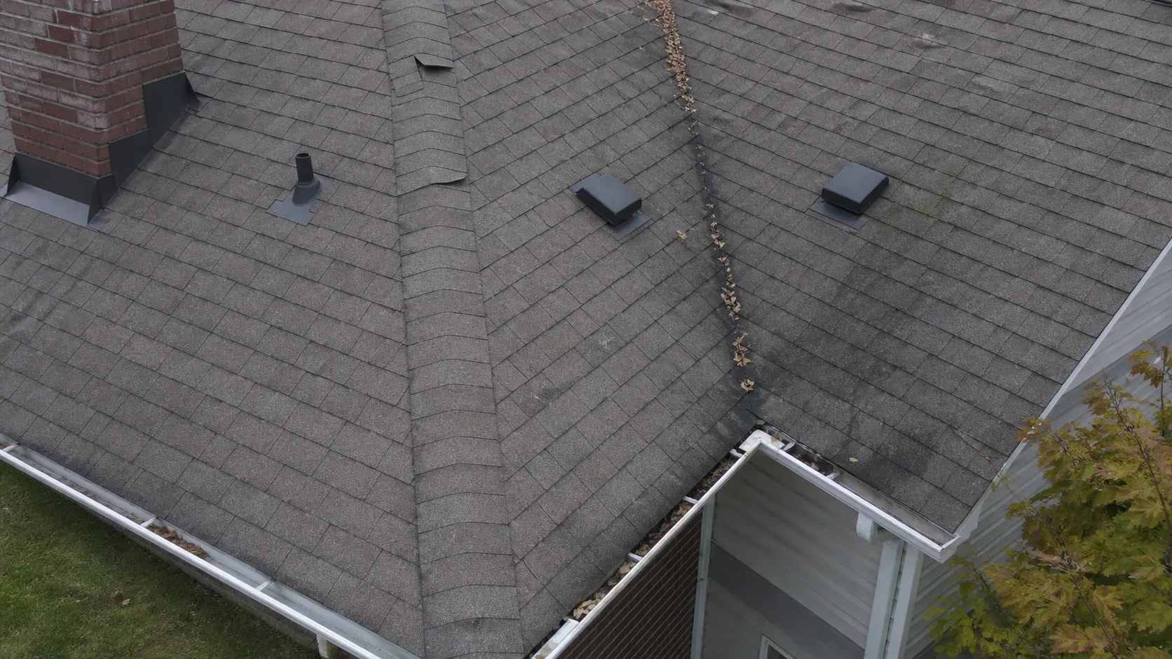
| Roof, grading, and exterior condition | Partly | Yes |
| Curb appeal and street presence | Yes | Partly |
| Scale of acreage, outbuildings, and frontage | No | Yes |
What Traditional Real Estate Photography Does Best
The interior. Layout, light, and finishes are what ground-level photography exists to capture, and every listing needs that set.
Start with the interior work and have it done properly. Wide, level, well-lit rooms are the foundation of a listing gallery, and buyers say so consistently.
"81% of buyers rated listing photos as the most useful feature of their online home search, ahead of every other piece of information a listing carries."
Source: NAR, 2025 Profile of Home Buyers and Sellers
Here is the part that gets missed. Buyers rate photos highest because photos are how they answer questions, and the questions do not stop at the front door. How big is the lot. What is behind it. How close is the neighbour. What is the street like. A ground-level camera cannot reach any of those, which is where the second half of the gallery comes in.
Where Drone Photography Changes the Listing
Everywhere the value sits outside the walls. Lot size, setting, frontage, and scale are all things only an aerial frame can show, and most properties have at least one of them.
The test is simple. Ask what a buyer would otherwise have to drive out and see for themselves before they believed it. If the answer involves the land, an aerial frame answers it in one image. Real estate drone photography does the most work on:
- Rural and semi-rural listings where acreage is the headline, common across St. Thomas, Dorchester, Thorndale, Lucan, and Mount Brydges
- Waterfront and ravine properties, where the setting is most of the price
- Homes backing onto green space, golf courses, or conservation land
- Large or irregular lots that a single ground photo cuts in half
- Properties with outbuildings, shops, pools, or detached garages
- Executive and luxury listings, where buyers expect the full presentation
- Land, development parcels, and anything sold on frontage or boundaries
- Standard suburban homes, where one oblique frame shows the yard, the street, and what the property backs onto
On listings where boundaries genuinely matter, an aerial image can carry property outlining, with the lot lines drawn directly onto the photo. That removes the last piece of guesswork a buyer would otherwise have to resolve in person.
What Does Each One Do for the Sale?
Professional photography lifts the price a listing achieves. Adding aerial is associated with the listing selling faster.
Professional ground-level work has the longer measurement record, and it points at price.
"Professionally photographed homes sold for $3,400 to $11,200 more relative to list price, on homes between $200,000 and $1 million. That works out to roughly 1 to 2%."
Source: Redfin, 2013
The case for aerial is about speed, which is the number most agents are judged on.
"Listings with professional aerial photography sell up to 68% faster than those with standard ground-level images alone."
Source: RubyHome, citing MLS data
The mechanism behind that figure is the part worth acting on. Aerial imagery removes uncertainty early, and buyers who are not uncertain book showings sooner. Put the two findings together and the pairing is straightforward: interior photography helps a listing achieve its price, and aerial helps it get there faster.
Do You Book One Supplier or Two?
Usually two, and that is the better outcome. Interior photography and aerial work are different disciplines, and a specialist in each beats a generalist covering both.
Forest City Aerial is aerial only. That is a deliberate specialisation rather than a gap: every shoot is led by a certified drone photographer with full attention on aerial composition, lot context, and property outlining, not by a photographer who also owns a drone. For the interior set, pair the aerial work with a local real estate photographer. We are happy to refer one. What that choice changes about the aerial half is set out in full in aerial specialist or full-service media company.
Two suppliers on one listing asks one thing of you. Book them for the same day. Light changes across a day and across a week, and a gallery that mixes overcast interiors with golden hour aerials reads as assembled rather than art directed. Same day, same conditions, and the two sets sit together properly.
Sequencing matters inside the gallery too. The aerial frame works hardest as the lead image on a rural or waterfront listing, because it answers the biggest question first. On an urban listing it belongs later, as context, after the interior has done its job. For premium properties, real estate drone videography extends the aerial set into motion, giving buyers the approach to the home rather than a still of it.
What Adding Aerial Costs on Top of Photography
Less than most agents assume, and it does not delay your launch.
Aerial is a separate booking, priced separately, and on a typical listing it is the smaller of the two line items. For that, the gallery gains the frames buyers stop scrolling for. Every package is delivered within 24 hours, edited and MLS-ready, so adding it does not move your listing date as long as both shoots happen on the same day.
Current packages and what each one includes are listed on the pricing page. If you want the reasoning behind the figures rather than the figures themselves, the breakdown of what drives the cost of a drone shoot covers property size, travel, and scope.
What to Book for Your Next Listing
Book both. Have the interior shot properly, then let aerial carry everything the interior cannot reach: the lot, the setting, and the scale that would otherwise take a paragraph of listing copy and a site visit to explain. One is how a listing gets looked at. The other is how it gets remembered.
Forest City Aerial shoots the aerial half across London, Ontario and the surrounding communities, including St. Thomas, Woodstock, Tillsonburg, Aylmer, Ilderton, Kilworth, Komoka, Lucan, Delaware, Dorchester, Mount Brydges, Thorndale, Belmont, and Port Stanley. Every flight is conducted by a Transport Canada certified pilot and every package is delivered within 24 hours.
Send the property details and we will put together a simple plan for your next listing.